Geomatics Section
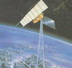
Geomatics is a modern scientific term encompassing the words of Geo and Informatics. It refers to the integrated approach of measurement, analysis, management, storage and display of the descriptions and location of Earth-based data. These data come from earth-orbiting satellites, air and sea-borne sensors and ground based instruments. Geomatics has applications in all scientific disciplines which depend on earth data, including environmental studies, planning, engineering, navigation, geology and geophysics, oceanography, land development and land ownership and tourism. It is thus fundamental to all the geoscience disciplines, which use spatially related data.
The Geomatics section of the laboratory deals with:
- Training of undergraduate and graduate students on the science of Remote Sensing, and Digital Image Analysis, and their application in environmental protection matters.
- Conducting research on:
- Statistical analysis and quality control of remote sensing and geodetic data.
- Development of a System for Oil Spill and Environmental Monitoring in the Eastern Mediterranean Using Remote Sensing and related Technologies.
- Development of a Remote Sensing System for managing wild and forest fires.
- Use of satellite and airborne sensors and images for environmental applications.
- Exploration and positioning of mineral resources, etc.
- Image fusion techniques,
- Creation of geographic and large databases.
- Map digitising and production of Digital Elevation Models.